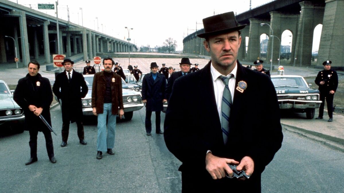
The Strait of Hormuz is not a place for the claustrophobic. At its narrowest point, the waterway shrinks to a mere twenty-one miles wide. It is a fragile carotid artery for the world’s energy, a passage where the deep, metallic hum of supertankers provides the constant heartbeat of global commerce. But lately, that heartbeat has been skipping.
When Iran released a map detailing the location of naval mines within these waters, the world didn't just see a tactical update. It saw a digital ghost story. Each coordinate on that map represents a dormant, explosive weight tethered to the seabed—a silent predator waiting for a hull to brush against its trigger. To the sailors aboard those tankers, men who spend weeks watching the horizon for shadows, a map like this is both a mercy and a threat. It is a reminder that the floor of the ocean is now a minefield of intent.
The Geometry of Fear
Modern warfare often trades the bayonet for the spreadsheet. In the current standoff, the release of "mine maps" serves a dual purpose. It is a claim of transparency, an attempt to say, We are being careful. Yet, simultaneously, it is an act of psychological dominance. By showing the world exactly where the danger lies, you force every captain, every insurance underwriter, and every energy minister to look at the water differently.
Consider a hypothetical navigator named Elias. He is thirty-four, coffee-stained, and tired. He is responsible for a vessel carrying two million barrels of crude oil. For Elias, the map isn't a political document. It is a series of "no-go" zones that turn a standard transit into a high-stakes slalom. He knows that these mines—often the EM-52 or similar bottom-dwelling variants—are designed to sense the magnetic signature of a ship. They don't need to touch you. They just need to feel your presence.
The tension isn't just about the explosives. It's about the math of uncertainty. When a map is shared, it implies a level of control. But in the shifting currents of the Strait, where the tide can pull with the strength of a freight train, cables fray. Anchors drag. A "safe" passage today can become a graveyard tomorrow because of a storm or a technical failure. This is the invisible stake: the erosion of the idea that the sea can be managed.
The Sound of a Broken Promise
While the maps were being digitized and broadcast, the air over Lebanon grew heavy with a different kind of pressure. The calls for a halt on strikes aren't just diplomatic white noise. They are the frantic attempts to stop a kinetic chain reaction.
In the high-walled rooms of international summits, the term "ceasefire violation" is used with a clinical coldness. It sounds like a clerical error. On the ground, a violation is the sound of a window shattering in a child's bedroom three miles away from the intended target. It is the smell of pulverized concrete and the sudden, jarring silence of a neighborhood that has lost its power grid.
The accusation of a violation acts as a pivot point. Once that word is uttered, the psychological permission for escalation is granted. The narrative shifts from How do we stop this? to They started it. This cycle is the most dangerous engine in the Middle East. It feeds on the very maps and data points meant to provide clarity. If one side claims a map is a guide and the other claims it is a provocation, the truth vanishes into the spray of the Persian Gulf.
The Invisible Insurance Policy
We rarely think about the cost of a war until we pump gas into our cars or buy a plane ticket. But the ripples from the Strait of Hormuz reach the wallet long before they reach the evening news.
When those maps were released, the "war risk" premiums for shipping surged. This isn't a metaphor. It is a literal tax on global stability. Every time a mine is spotted or a map is brandished, the cost of moving goods through that twenty-one-mile gap increases. The world pays for the tension in the Strait every time we buy a plastic toy or heat a home.
The masters of these vessels find themselves in a technological tug-of-war. On one hand, they have the most advanced GPS and sonar arrays ever built. On the other, they are facing a threat that dates back to the 19th century: a ball of iron and TNT hidden in the dark. It is a collision of the hyper-modern and the primitive.
The Weight of the Map
Technology was supposed to make the world transparent. We have satellites that can read a license plate from orbit and AI that can predict a supply chain bottleneck weeks in advance. Yet, in the face of a hand-drawn map of naval mines, all that technology feels brittle.
The maps shared by Iran are a form of "managed escalation." By revealing the locations, they signal a willingness to engage without immediately pulling the trigger. It is a terrifying form of communication. It is the geopolitical equivalent of a man holding a lighter to a fuse and showing you exactly how long the string is. He isn't blowing anything up yet, but he wants you to know he could.
This brings us to the human element that often gets buried under the headlines of "ceasefire violations." We are talking about thousands of sailors, millions of civilians in Lebanon and Israel, and a global population that relies on the smooth flow of this specific, narrow sea.
They are all waiting for the same thing: for someone to stop looking at the map and start looking at the people it represents.
The map is a piece of paper, or a PDF, or a flicker on a screen. But the mine is a physical reality. It sits in the brine, swaying with the current, cold and indifferent. It doesn't care about the diplomatic nuances of a ceasefire or the accusations of a violation. It only knows how to do one thing.
The real tragedy of the modern conflict isn't just the explosion. It's the fact that we have become so accustomed to the maps of the minefields that we’ve forgotten how to live in the open water. We have started to accept the boundaries of fear as the natural geography of our world.
The navigator, Elias, stands on the bridge of his tanker. He looks at the radar, then at the map on his tablet, then at the actual water. The sun is setting, turning the Gulf into a sheet of hammered gold. It looks peaceful. It looks like it always has. But he knows what lies beneath. He knows that the most dangerous things in the world are the ones we’ve been told exactly where to find, yet remain powerless to move.
He keeps his hand on the throttle, eyes locked on the horizon, waiting for the heartbeat to skip again.